Editor's note: This report was updated with the latest National Weather Service forecast.
Wear the extra-sticky shoes Wednesday and Thursday, Nature is in a mood.
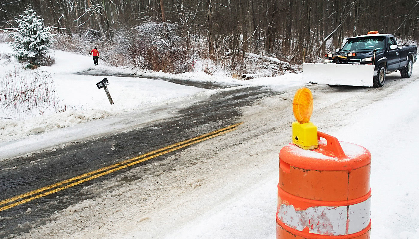
The National Weather Service of Binghamton has issued a winter weather advisory, warning of 2 to 5 inches of snow and ice, particularly at elevations above 1,400 feet, in a storm that will range from snow to sleet to rain and back again.
The advisory forecasts slippery roads from 1 p.m. today to 10 a.m. Thursday as the storm sweeps over upstate New York. Snow will change to sleet and freezing rain after 5 p.m., then rain late in the night, returning to a mix Thursday morning and rain Thursday afternoon.
Temperatures will range from 32 to 42 degrees, the weather service forecasts.
Forecasters at AccuWeather said the same storm system could result in icing across a 1,300-mile band from near Omaha, Nebraska, to New Hampshire Wednesday and Thursday, creating potential travel hazards in or near cities such as Milwaukee, Detroit, Chicago and Boston.
Portions of northern Illinois, southern Michigan and southern New York state could get up to half an inch of ice, which could topple power lines and cause outages, AccuWeather said.
New York State Electric & Gas has geared up, because an ice buildup could lead to downed power lines. It is activating line and tree crews and moving resources into the area.
It suggests you keep battery-operated flashlights and radios ready, as well as drinking water and non-perishable food. Make sure electronics are fully charged and your gas tank is full.
Keep at least 30 feet away from downed power lines and call 800-572-1131 if your power goes out, after checking your circuit breaker or fuse box.
The Associated Press contributed to this report.


